
There are several walks around Wairarapa Moana Wetlands, ranging from about 20 minutes to two hours.
All walks have easy gradients on mown grass or gravel paths. They are suitable for buggies but aren’t safe for wheelchairs. If you’re bringing your dog, you must put them on a lead to keep our threatened species safe.
Lake domain reserve

In the south-east section of the Domain, about 600 metres from the entrance, is a large wetland called Barton’s Lagoon. This lagoon has some great vantage points for observing wetland birds on the open water. Continue along the lake shore for another 500 metres and you’ll reach the delta of the Tauwharenīkau River. Here you may be lucky enough to spot the most threatened species of gull in the world, the tarāpuka (black- billed gull).
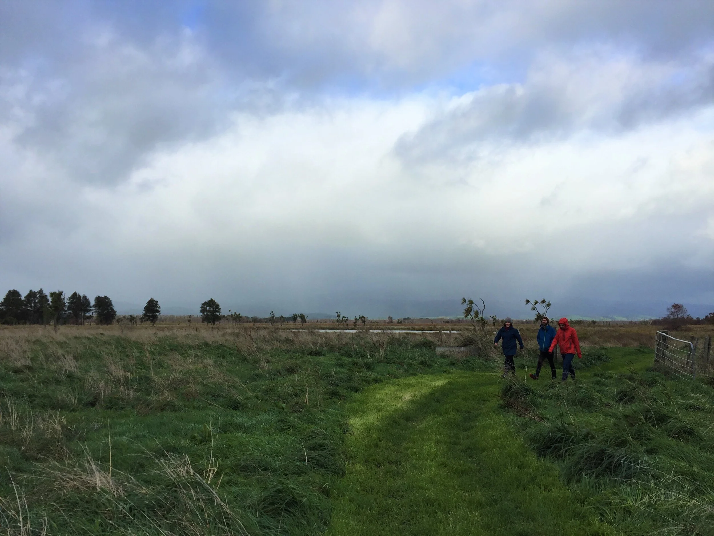
Boggy Pond and Wairio Wetland

credit: Walt Dickson
Much of this area is now being restored, with willow and alder trees removed and native species returning to the wetlands. Natural regeneration is supported by plantings of native species to enhance bird and fish habitat.
From the car park on Parera Road, you’ll need to cross a stile then walk for 800 metres to reach a bird hide overlooking the open water of Boggy Pond. From there you can continue on for a longer 2.6 kilometre loop, returning along Parera Road.
Across the road from the Boggy Pond car park is a stopbank which you can walk on to the edge of the lake. Walk through the gate and follow the track for 1.2 kilometres until you reach a bird hide (don’t forget to close the gate behind you).
If you’ve got a bit more time, you could circumnavigate both Boggy Pond and Wairio Wetland, a 9 kilometre loop that takes 2-3 hours.
Lake Ōnoke at Lake Ferry

This area has a history dating back hundreds of years. The coastal lagoon sits near the site of a historical Māori fishing village called Ōkorewa. The area was a significant resource for the harvesting and trade of tuna (eels) and other fish. A ferry service, established in the early 1850s, once provided transport across Lake Ōnoke to enable travellers to take an inland journey up the Ruamāhanga River.
From here you can walk along the shore of Lake Ōnoke, east along the beach past Ōkorewa Lagoon to Whangaimoana Beach (3 kilometres) or west along Ōnoke Spit (if the outlet of Lake Ōnoke is closed).
Ōnoke Spit

The three kilometre spit is a fantastic place for walking. Although, it’s home to many species which are vulnerable to disturbance, so is not a great place for dogs. It’s best to access it from Beach Road, which comes off Western Lake Road. Occasionally the mouth of Lake Ōnoke naturally blocks, and when this happens, you can walk over from Lake Ferry.
Taranui (Caspian terns), pohowera (banded dotterels) and other birds nest on the ground here over spring and summer and may abandon their nest if you get too close. Stay on the main path and watch out for nests, which may just be a small number of speckled eggs on the ground.
Keep your eyes peeled among the driftwood for skinks basking in the sun or scurrying across the beach.
Pounui Lagoon

Pounui Lagoon is separated from Lake Ōnoke by Paul’s Bank, a stopbank along its north-west edge, which takes you to the Ruamāhanga River. Another stopbank runs north from Paul’s Bank along the edge of Pounui Lagoon. These stopbanks provide easy walking, great views of the surrounding landscape, and opportunities to spot many wetland birds. It’s about an hour’s return walk from Western Lake Road to the northern tip of Pounui Lagoon and back.